

Hurricane Polo Sweeps Across Mexico as Flooding Spreads Beyond Baja California
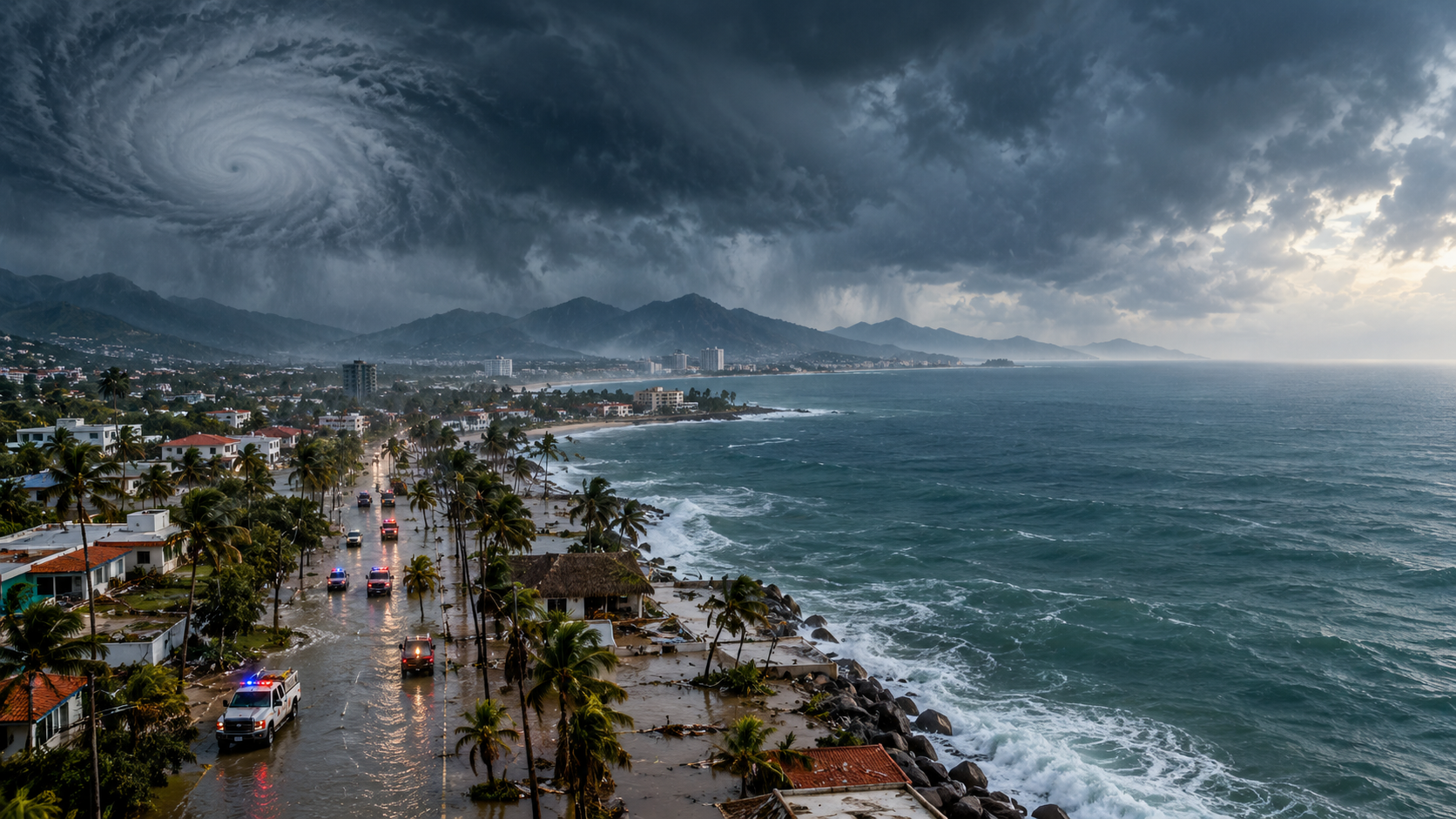 Hurricane Polo has swept across Mexico, bringing powerful winds, heavy rainfall and flooding to parts of the country’s Pacific coast before weakening as it moved inland. The storm made landfall in Baja California Sur before crossing the Gulf of California and making a second landfall near Guaymas in Sonora.
Polo initially reached hurricane strength with maximum sustained winds of around 110 mph as it approached Baja California Sur. The U.S. National Hurricane Center reported life-threatening winds and flash flooding as the storm moved ashore near Las Barrancas late September 28.
The storm brought flooding, damaged roofs, toppled trees and utility poles, and forced road closures in affected areas. Hundreds of residents were evacuated, while emergency authorities prepared shelters and rescue resources for communities vulnerable to flooding. Preliminary assessments in Baja California Sur indicated no deaths and relatively limited structural damage despite the strength of the storm.
Polo then crossed the Gulf of California and made a second landfall near Guaymas, Sonora, on September 29 as a Category 1 hurricane. Authorities in Sonora suspended nonessential activities in response to the deteriorating weather, while emergency teams worked to support communities affected by flooding and strong winds.
Although Polo has weakened considerably, its impact has extended well beyond the locations directly hit by the hurricane. Heavy rain associated with the storm has spread across northwestern Mexico and into the southwestern United States. Forecasters have warned that the combination of tropical moisture and already saturated ground could increase the risk of flash flooding and mudslides.
The storm has also demonstrated how tropical systems can create hazards far from their original landfall. As a hurricane weakens, its winds may diminish while its remaining moisture continues to produce significant rainfall. In areas with dry desert terrain, sudden heavy rainfall can quickly overwhelm normally low-flow waterways and drainage systems.
NASA’s latest Earth Observatory report highlights Polo as part of an unusually active period of Pacific storm activity, alongside Hurricane Nolo. The agency’s September 30 imagery shows the scale of storm systems moving across the Pacific and their impacts on land.
For communities affected by Polo, the immediate priority is now recovery and continued flood monitoring. Roads, utilities and homes can remain vulnerable even after a storm’s winds weaken, particularly when rivers and drainage channels continue carrying large amounts of water.
The broader story is therefore shifting from hurricane landfall to flood recovery and downstream impacts. Polo’s journey across Mexico illustrates how the most dangerous consequences of a tropical cyclone can continue after the center of the storm has moved away.
As Polo fades over northwestern Mexico, attention is turning toward the remaining rainfall, flood risks and recovery efforts. At the same time, meteorologists are monitoring other tropical systems developing in the Pacific, underscoring the continued importance of preparedness during an active hurricane season.


